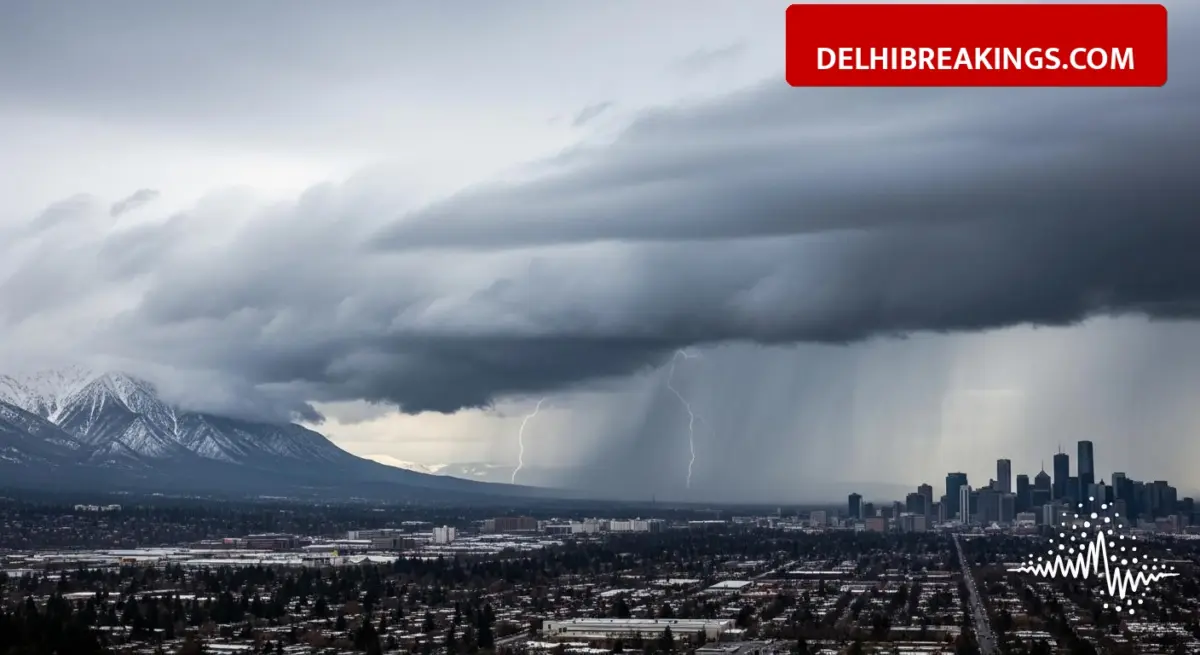
The India Meteorological Department (IMD) has announced a significant change in weather patterns for Northwest India due to an active western disturbance. The department has predicted heavy rain and thunderstorms for February 5, 6, and 7 in various regions. This weather update brings warnings for rainfall in the plains and snowfall in the hilly areas, which is expected to lower temperatures in the coming days.
ℹ️: Amit Shah Launches ‘Bharat Taxi’ in Delhi, 30% Cheaper Rides and Zero Commission for Drivers।
Rain Alert for Uttar Pradesh and Delhi
Western Uttar Pradesh is facing a wet spell with rain predicted for multiple districts. The IMD has identified 27 districts likely to experience rain, including Muzaffarnagar, Baghpat, Saharanpur, Shamli, Meerut, Ghaziabad, Noida, Bulandshahr, Agra, and Bareilly. In the past 24 hours, areas like Delhi-NCR, Mathura, and Aligarh have already witnessed rainfall. The weather agency expects the minimum temperature to drop by 2 to 3 degrees Celsius by February 8.
Snowfall and Storms in Other Regions
The impact of the western disturbance is also visible in the mountains and northeastern states. Fresh snowfall has been recorded in parts of Himachal Pradesh, while the northeast is bracing for storms.
- Himachal Pradesh: Fresh snowfall has covered Shimla, Kullu, Kinnaur, and Lahaul-Spiti. Manali recorded 7.4 cm of snow, while Kothi saw 33 cm.
- Northeast India: Arunachal Pradesh, Assam, and Meghalaya are expected to face storms and rain on February 6 and 7. Heavy rain is specifically forecast for Arunachal Pradesh on February 7.
- Delhi Update: The national capital may experience thunderstorms, with recent data showing a minimum temperature around 8.2 degrees Celsius.


